This seven-foot stone stands in the middle of a sloping field near the main road through Muirkirk. Ayrshire, having been a successful agricultural area for a long time, has been cleared of many of its standing stones and stone circles over the centuries for the benefit of farming. As a result, the area is relatively short of ancient monuments. This stone in the northeastern corner of the region is a fine exception to the rule.
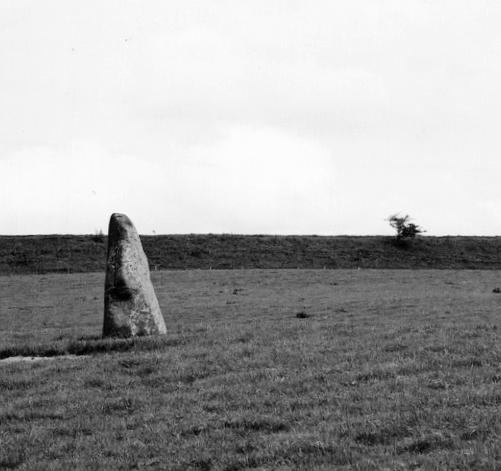
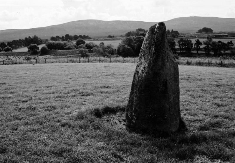
1/9 Looking north from the road. The embankment of a dismantled railway line forms the horizon.
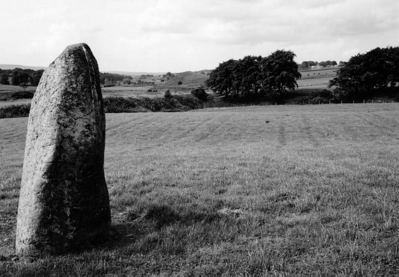
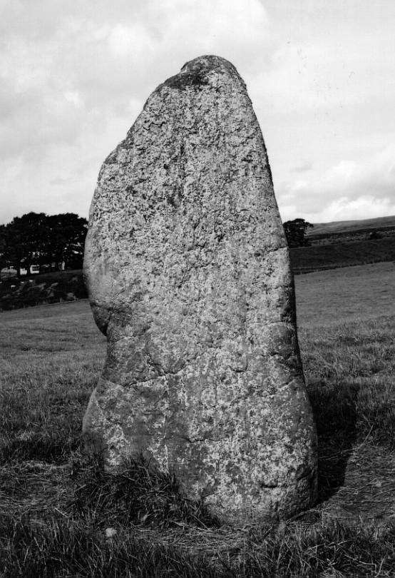
2/9 Looking southwest.
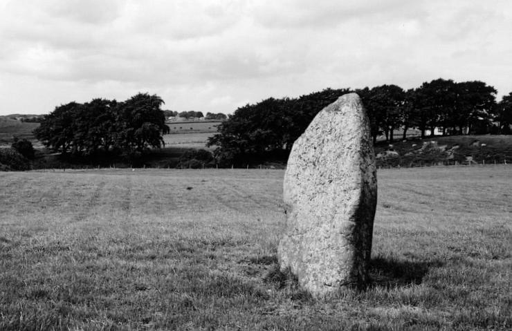
3/9 Looking northwest.
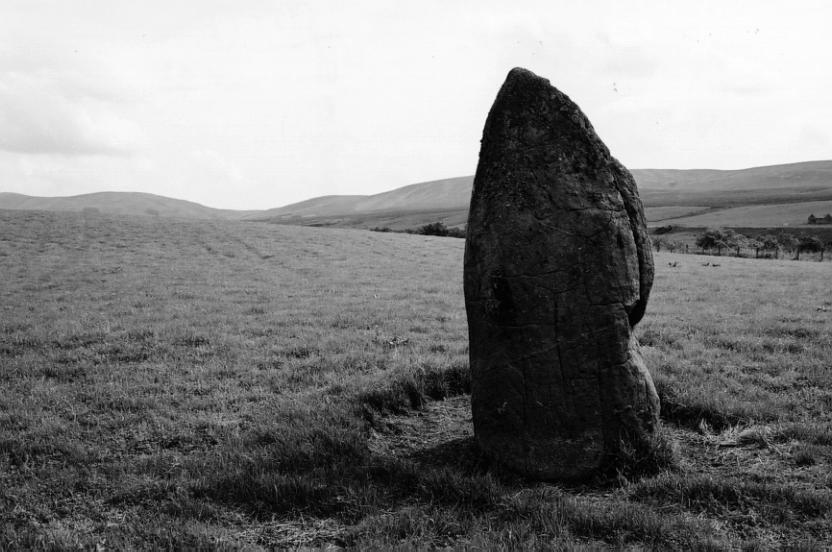
4/9 Looking southeast.
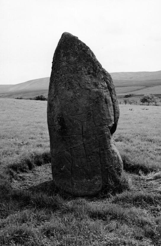
5/9 Another view to the southeast. This face contains a number of dents that could be cup marks but are probably natural.
6/9 Looking south.
7/9 Another view to the south.
8/9 Looking west.
9/9 Looking northwest.
Nearby Sites
4km Cairn Table Cairn
20km Ballochmyle Carved Cliffs Cup And Ring Carvings
20km Craignethan Castle Castle
(NB: All distances are as-the-crow-flies. Lochs, mountains and beautiful winding roads will make it further. Sometimes much further.)