South of Loch Assynt, in the Inverpolly National Nature Reserve on the far north-west of the mainland, there is a chambered cairn fifteen metres from where the A837 crosses the Ledbeg River.
It has been mostly robbed of stones; only the end stone and one side stone---just over a metre tall--- of the chamber still stand, although other large blocks from the cairn still lie close at hand. Part of a ring of kerb stones still remains to the south of the cairn.
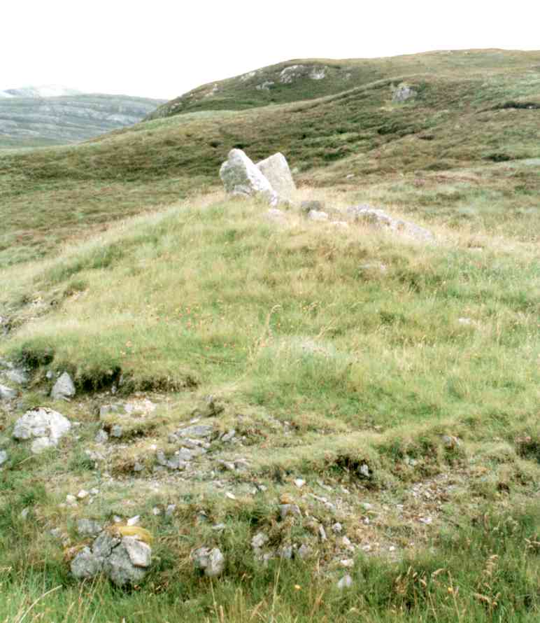
1/4 Looking east, from the A837.
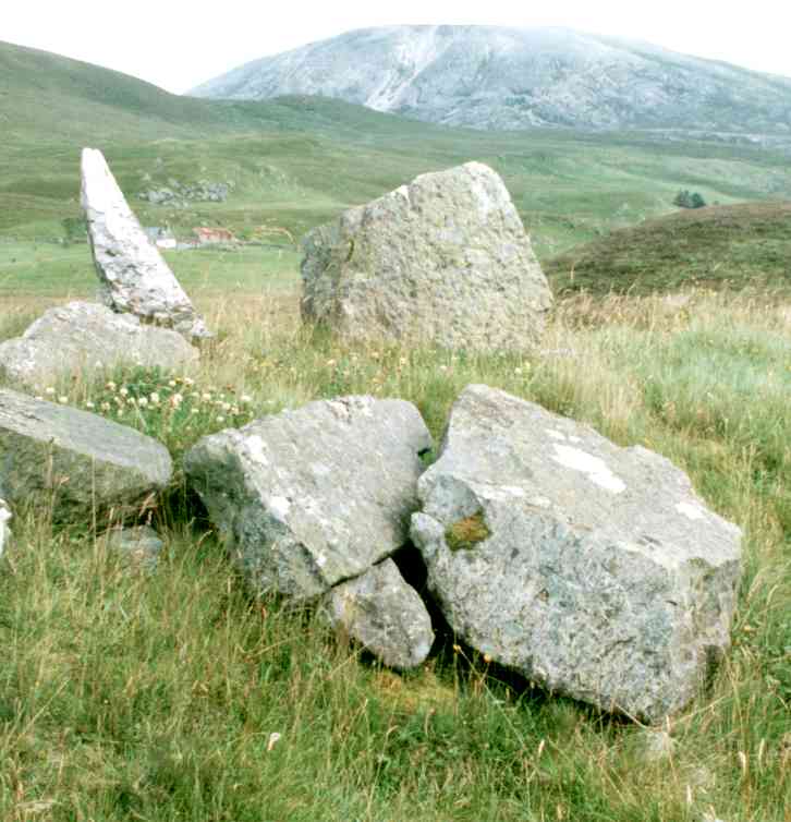
2/4 Looking north-east towards Lyne Farm and Beinn an Fhuarain.
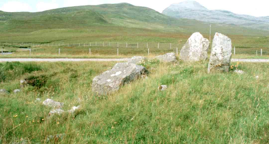
3/4 Looking north-west towards Cnoc an Leathaid Bhig and the distant Canisp.
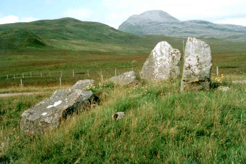
4/4 Looking north-west towards Cnoc an Leathaid Bhig and Canisp.
Nearby Sites
25km Clachtoll Broch Broch
(NB: All distances are as-the-crow-flies. Lochs, mountains and beautiful winding roads will make it further. Sometimes much further.)