Maeshowe tomb is near the Stones of Stenness and the Ring of Brodgar on the Orkney Mainland.
This superb structure dates to somewhere around 3000BC.
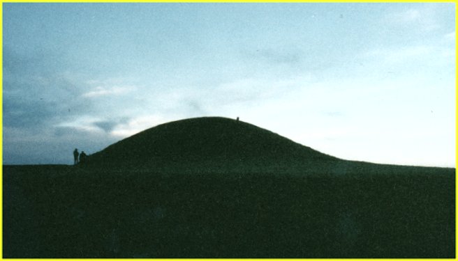
The mound is 7.3 metres high and 35 metres in diameter. It is surrounded by a ditch and low bank.
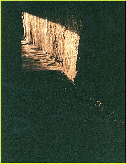
The long, low entrance passage leads to the main chamber which is about 4.5 metres square and would have been about 4.5 metres in height; however the roof collapsed after being entered by Norsemen in the 12th century. These raiders left runic graffitti over much of the main chamber stones.
There are three subsidiary chambers in the walls of the main chamber.
At mid winter, the setting sun shines down the passage and shines on the back wall of the tomb.
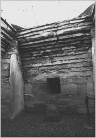
1/9 The back wall of Maeshowe
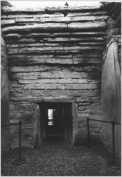
2/9 The front wall and entrance passage of Maeshowe
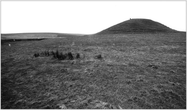
3/9 Looking west towards Maeshowe from the surrounding ditch
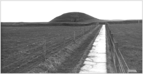
4/9 Looking north-east towards then entrance of Maeshowe
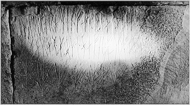
5/9 Some of the runes carved by Norsemen in the 12th Century AD.
6/9 Looking north towards Maeshowe. The two yardsticks on the left are 6 feet and 5 feet 1 inch tall.
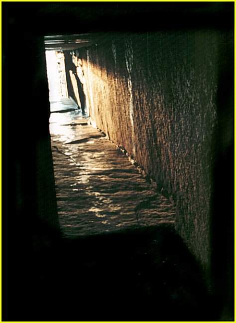
7/9 Light from the mid-winter sunset starts to creep down the entrance passage of Maeshowe.
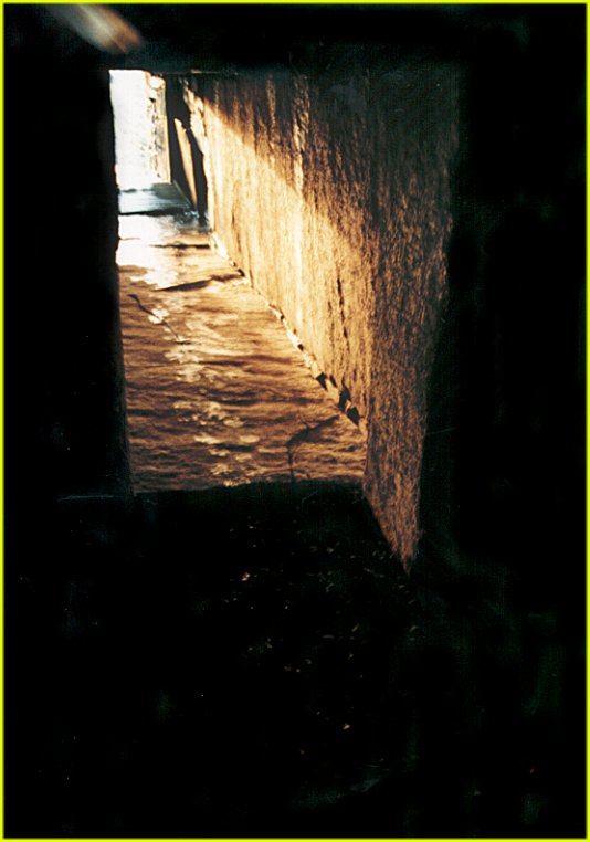
8/9 Light from the mid-winter sunset reaches the doorway of Maeshowe.
9/9 Light from the mid-winter sunset edges past the doorway of Maeshowe and starts to spill across the floor of the main chamber.
Nearby Sites
1km Barnhouse Neolithic Settlement Neolithic Settlement
1km Stones of Stenness Stone Circle
1km Watch Stone Standing Stone
2km Ring of Brodgar Stone Circle
3km Ring of Bookan Chambered Cairn; Henge
3km Unstan Chambered Cairn Chambered Cairn
4km Cuween Hill Chambered Cairn
7km Rennibister Earth House Souterrain
8km Orphir Round Church Church
9km Wideford Hill Chambered Cairn
10km Skara Brae Neolithic Village Neolithic Settlement
13km St Magnus Cathedral Cathedral
15km Gurness Broch
(NB: All distances are as-the-crow-flies. Lochs, mountains and beautiful winding roads will make it further. Sometimes much further.)