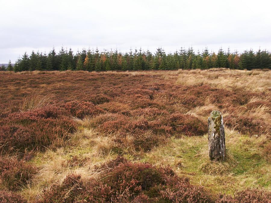
Three stones stand by the road here. One of them may simply be a boulder standing on end as it does not seem to be particularly earthfast. At least two of them were intentionally set here in the distant past.
The stones are very close to the road, but can still be easily missed amongst the heather depending on the time of year.
The two definite standing stones stand a little under a metre tall, are a little over a metre broad, and are about 20cm thick. The third stone is just half a metre tall and 40cm thick.
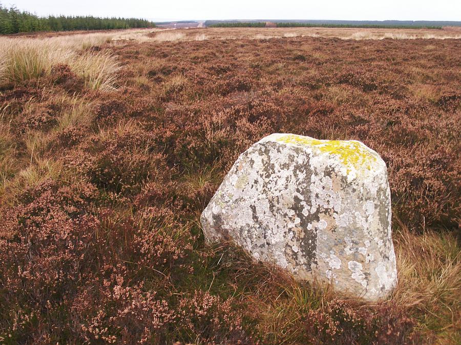
1/10 The northernmost stone, looking southwest.
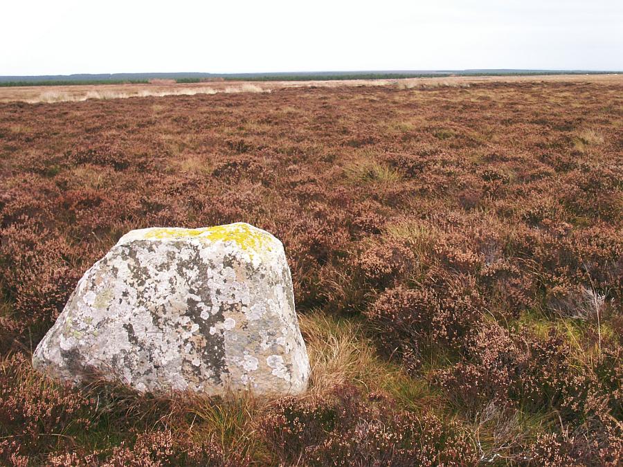
2/10 Looking south. The southernmost stone can be seen near the treeline.
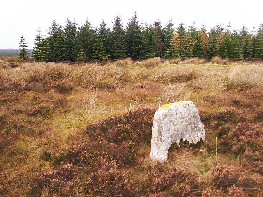
3/10 Looking southwest. The third stone is directly behind this stone near the treeline but cannot be seen in the grass and heather from here.
4/10 Looking east.
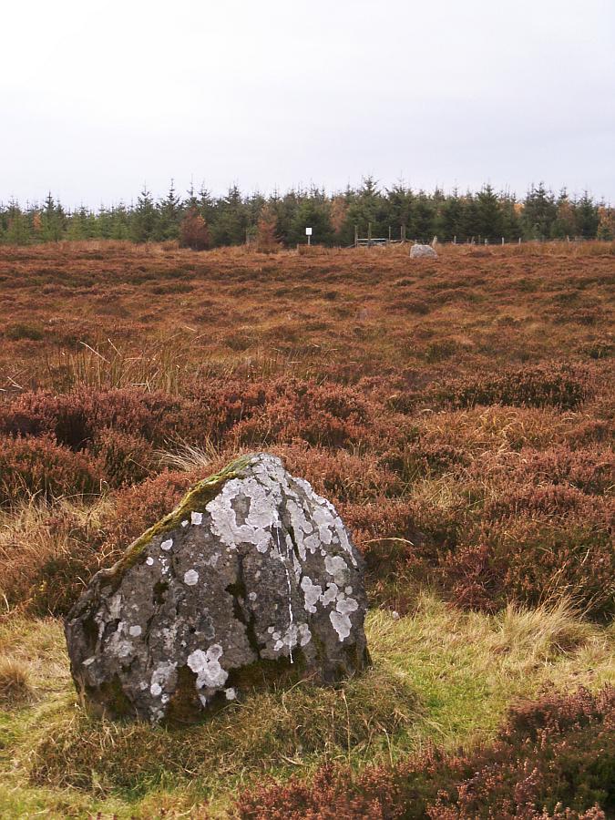
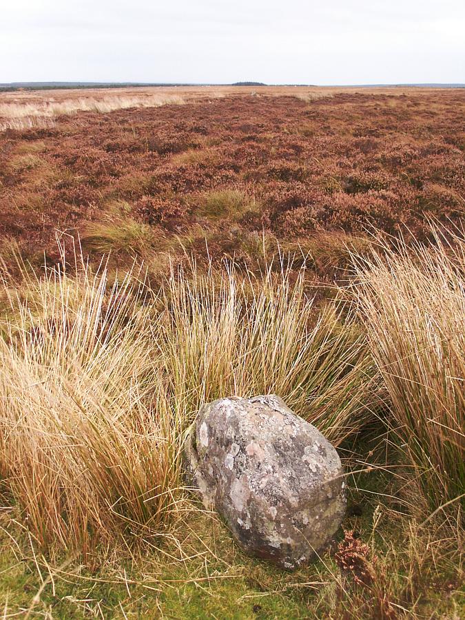
5/10 The southernmost stone, looking northwest.
6/10 Looking north. The northernmost stone can just be seen in the distance behind and to the right.
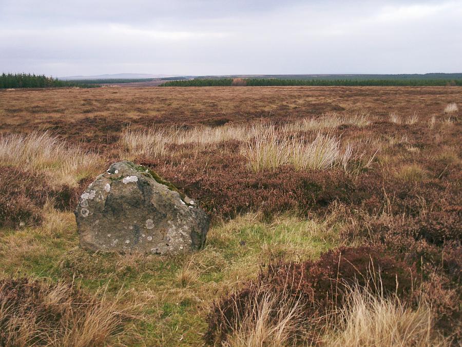
7/10 Looking southwest.
8/10 Looking northeast.
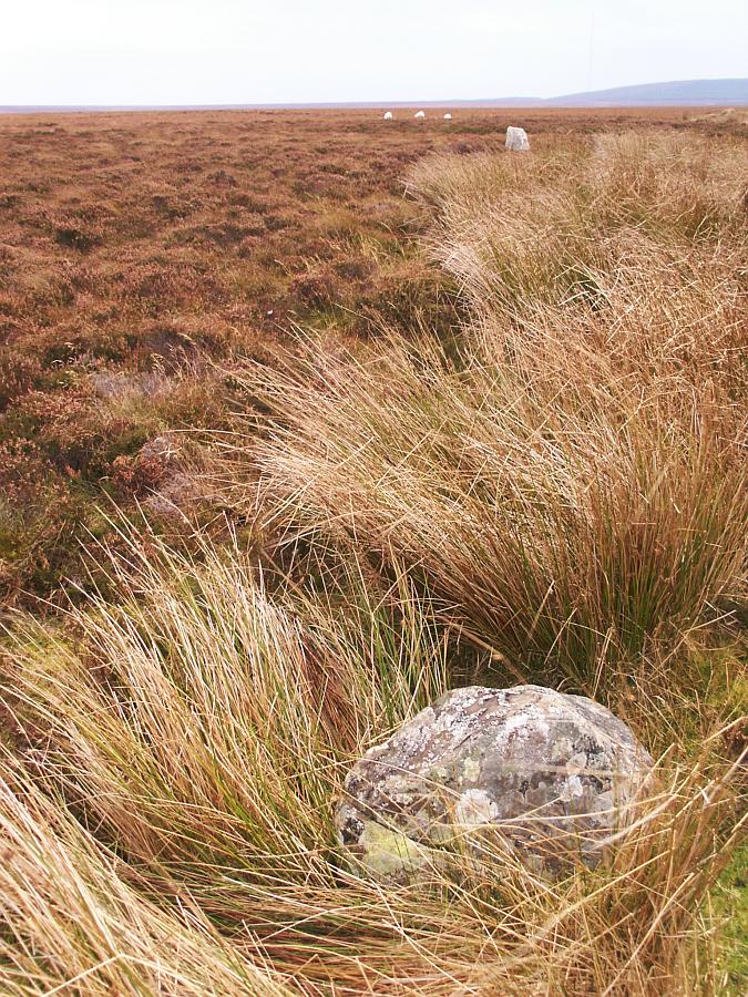
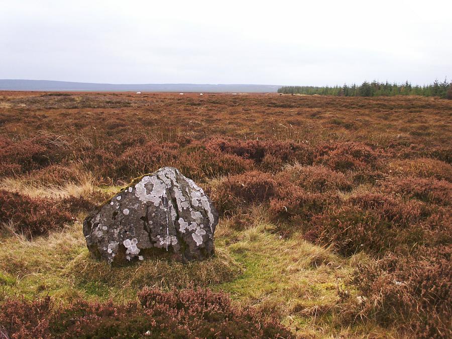
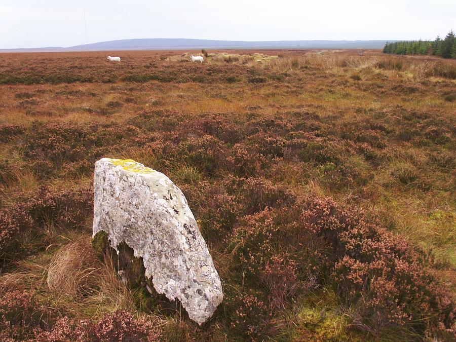
9/10 This third stone in the foreground may or may not be part of the stone setting. The southernmost stone can be seen in the distance directly behind. The line of white blobs beyond are sheep!
10/10 The northernmost stone can just be seen in the distance towards the 'mound' of trees on the centre horizon.
Nearby Sites
1km Grey Cairns of Camster - Long Cairn Chambered Long Cairn
1km Grey Cairns of Camster - Round Cairn Chambered Cairn
2km Camster Stone Row Stone Rows; Standing Stones
5km South Yarrows Broch Broch
7km Cairn of Get Chambered Cairn
8km Achavanich Stone Circle
8km Hill O' Many Stanes Stone Rows; Standing Stones
13km Guidebest Stone Circle; Cairns
(NB: All distances are as-the-crow-flies. Lochs, mountains and beautiful winding roads will make it further. Sometimes much further.)