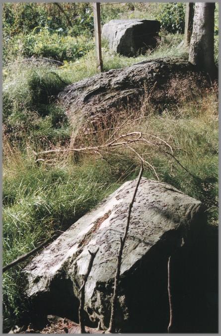
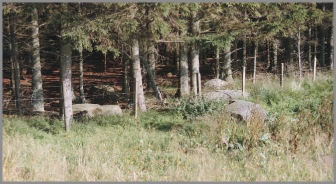
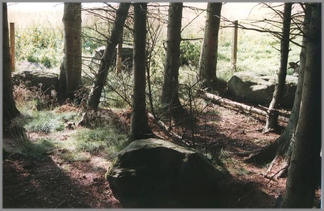
These nine stones lie (rather than stand) between two ridges near the summit of the Hill of Drimmie on the very edge of a forestry plantation -- many of the stones are within the trees. Six of the stones are considered to be definitely part of the circle, the other three being questionable.
Burl described this as a four-poster, several of the stones having been found after turf removal some time after Burl made his description.
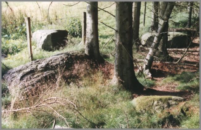
1/8 Looking northwest from within the forestry plantation.
2/8 Another view to the northwest.
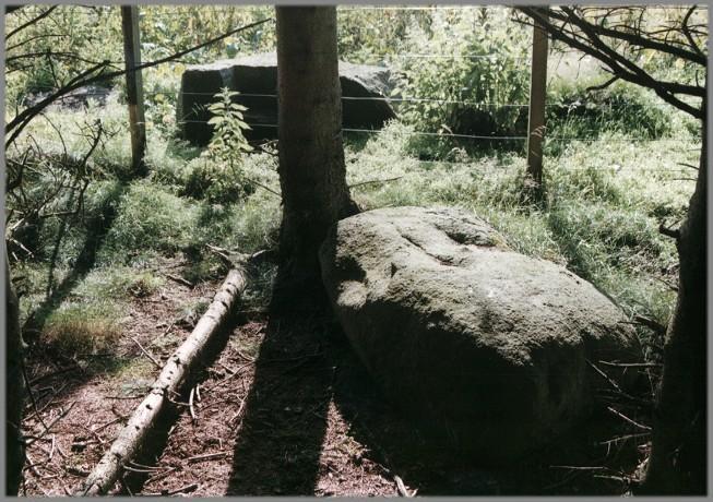
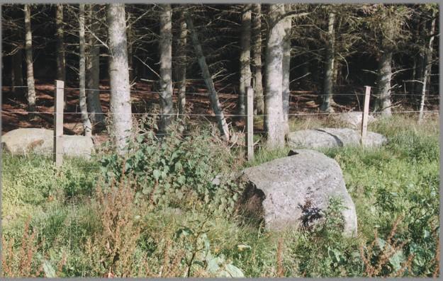
3/8 Looking southwest.
4/8 A view to the southeast.
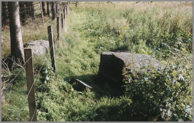
5/8 Looking west from further into the wood.
6/8 Looking east.
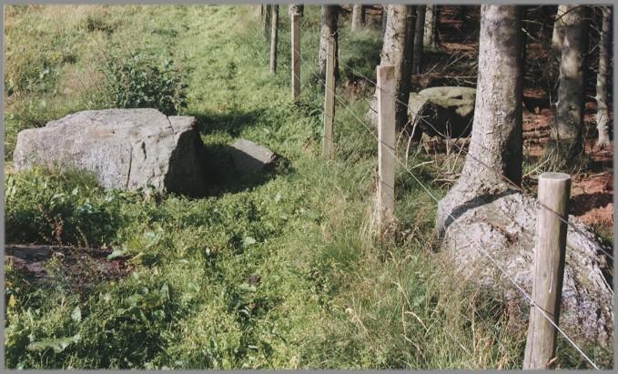
7/8 Looking south. The large stone on the west of the circle (at the centre-right of the photograph) is fractured.
8/8 Looking north.
Nearby Sites
1km Courthill Stone Standing Stone
1km Mains of Creuchies Stone Circle
5km Alyth Pictish Cross-Slab Pictish Stone Class II
6km Leys of Marlee Stone Circle
7km Barry Hill Iron Age Hill Fort
12km Kettins Pictish Cross-Slab Pictish Stone Class III
14km Murthly Pictish Stone Pictish Symbol Stone Class III
17km Wolfhill Stones Standing Stones
18km Blackfaulds Stone Circle
18km Dunkeld Park Standing Stone
19km Druids Seat Wood Stone Circle
20km Colen Wood Stone Circle
(NB: All distances are as-the-crow-flies. Lochs, mountains and beautiful winding roads will make it further. Sometimes much further.)