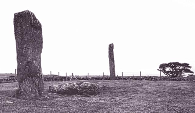
These three large stones (two standing at around ten feet tall, one fallen would be about nine feet tall) are aligned approximately northeast-southwest in an area thick with standing stones and cup-and-ring marks.
These three stones, along with several cup-and-ring marked outcrops nearby, are in state care.
The line of the stones points northeast to a point on the horizon near the midsummer sunrise. Looking in the opposite direction, to the southwest, the line points near to where the midwinter sun sets.
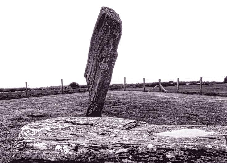
The southwestern-most stone is of such a shape that from some angles it looks very precarious and might easily break in two. That is somewhat deceptive and the stone looks really quite substantial.
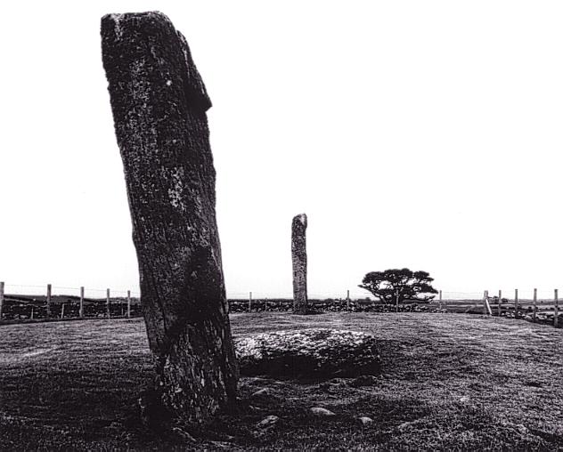
1/8 Looking southwest (in the direction of the midwinter sunset.
2/8 Looking north.
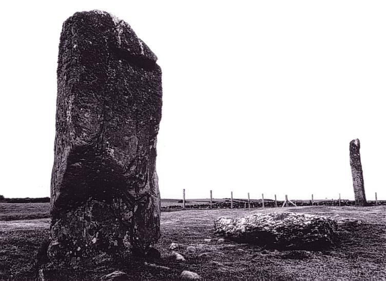
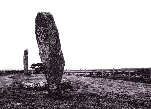
3/8 Looking south.
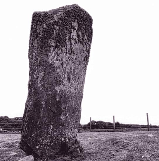
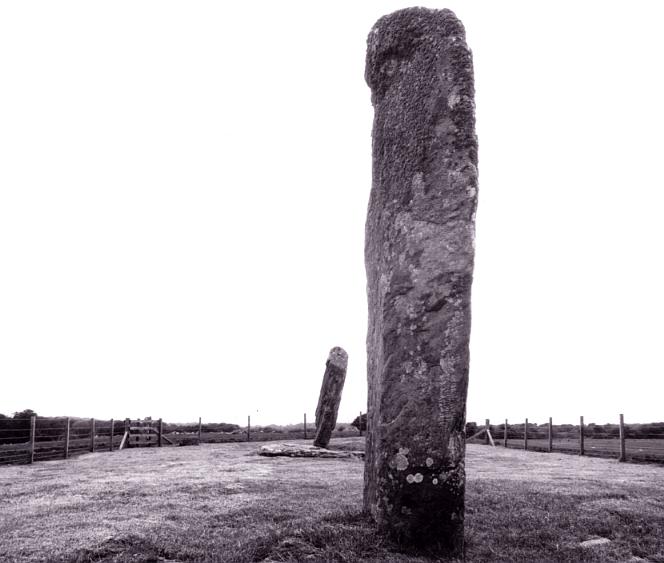
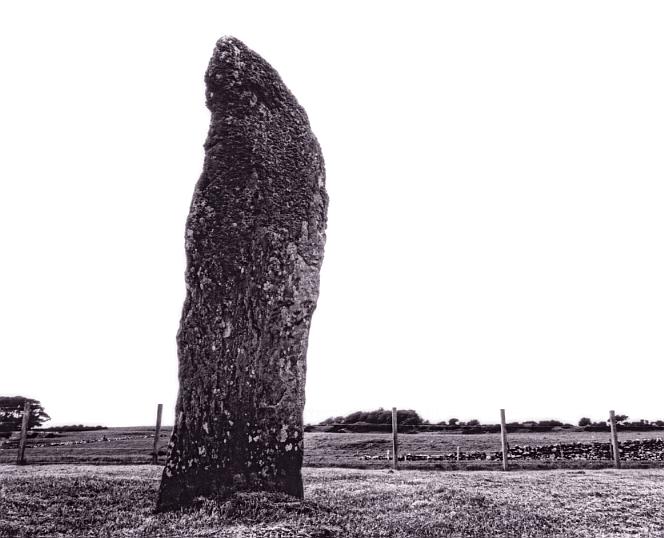
4/8 A view of the southern stone.
5/8 Looking northeast
6/8 A view of the northern stone.
7/8 Another view to the south with the toppled middle stone in the foreground.
8/8 Another view to the north.
Nearby Sites
0km Drumtroddan Rock Art Cup and Ring Marks
12km Torhousekie Stone Circle; Stone Row
13km Boreland Stone Row
17km Cairnholy I Chambered Cairn
18km Cairnholy II Chambered Cairn
20km Cauldside Burn Cairn and Stone Circle Stone Circle; Cairn
20km Glenquicken Stone Circle
(NB: All distances are as-the-crow-flies. Lochs, mountains and beautiful winding roads will make it further. Sometimes much further.)