Upper Fernoch is at the west side of the Knapdale Peninsula near Tayvallich, between Loch Sween and the Sound of Jura.
There are a good number of standing stones, cairns and fortifications in the local area. A quarter of a mile away, but out of sight, is another megalith at Barnashaig. And a quarter of a mile further on, within view of both stones and with splendid views of the Isle of Jura, are the ruinous remains of a hill-top dun.
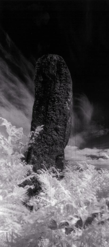
1/10 Infra red picture of the east face of the stone.
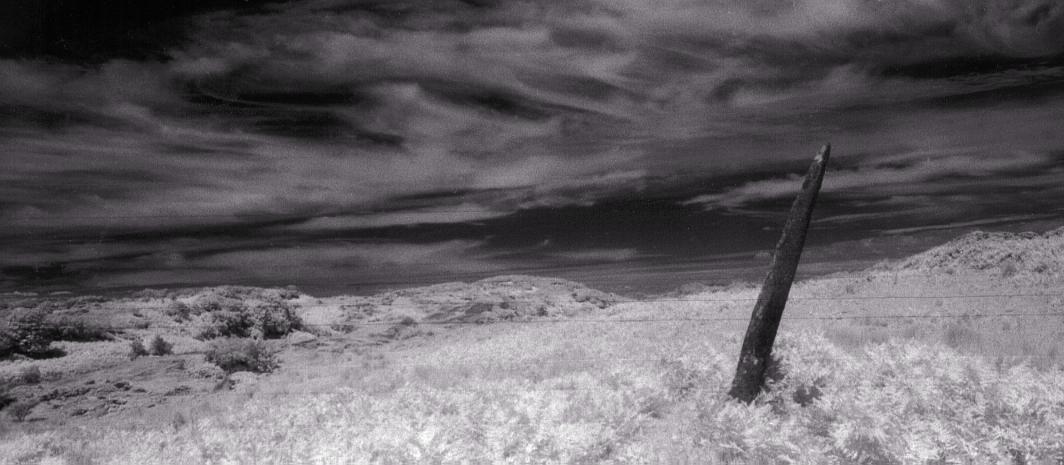
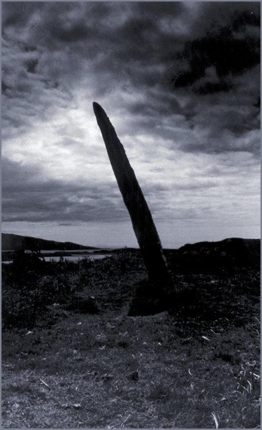
2/10 Infra red view to the northeast.
3/10 Another IR view to the northeast.
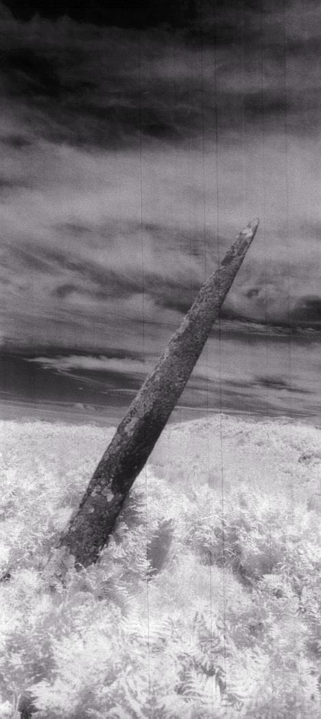
4/10 An IR view of the west face.
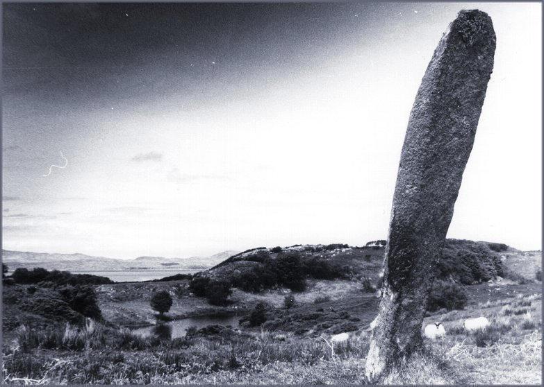
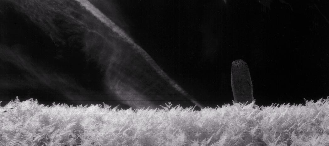
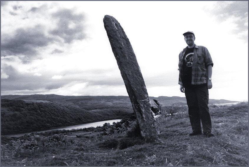
5/10 Looking north west over the Sound of Jura with the Isle of Jura in the background. The remains of a dun stands on the low hill to the right of the megalith.
6/10 Looking south west across the water of Linne Mhuirich.
7/10 Looking north.
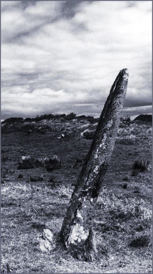
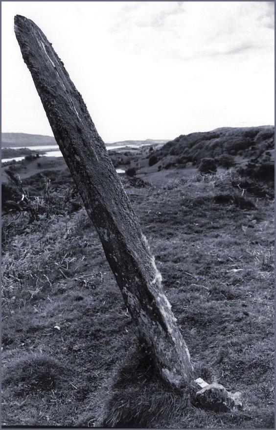
8/10 The west face of the megalith. CANMORE describes the depressions on the surface as natural, although the spot approximately half way up and to the right of centre looks like a typical cup-mark from close up.
9/10 Looking south west again across Linne Mhuirich. The compass at the base of the stone indicates north to the bottom right of the picture.
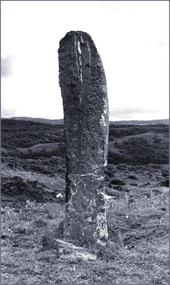
10/10 The yardstick is 5 feet 9 inches, the megalith would be a little over 7 feet tall if it didn't lean.
Nearby Sites
0km Barnashaig Standing Stone
2km Dun Mhuirich Dun
6km Kilmory Oib Village Deserted Mediæval Village
9km Lochead Megalith Standing Stone
11km Cairnbaan Cup and Ring Marks
12km Dunadd Fort; Rock Carving
12km Stane Alane Standing Stone
13km Achnabreck Carved Rocksheet Cup And Ring
14km Ballymeanoch Cairn Kerb Cairn
14km Ballymeanoch Henge Henge; Cist
14km Ballymeanoch Holed Stone Standing Stone (broken, fallen and moved)
14km Ballymeanoch Stone Rows Stone Rows
14km Dunchraigaig Cairn Chambered Cairn
14km Kilmichael Glassary Decorated Rock Sheet Cup and Ring Marks
14km Nether Largie Stone Setting Stone Setting
14km Temple Wood Stone Circle
15km Torbhlaran Standing Stone
16km Kilmartin Church And Graveyard Mediaeval Grave Slabs; Early Christian Crosses; Carved Slabs; Church
17km Carnassarie Cairn Cairn
17km Carnassarie Standing Stones Standing Stones
18km Ormaig Rock Carvings Cup and Ring Marks
19km Creagantairbh Beag Monolith Standing Stone
19km Glennan Standing Stone
20km Salachary Stone Row Standing Stones
(NB: All distances are as-the-crow-flies. Lochs, mountains and beautiful winding roads will make it further. Sometimes much further.)