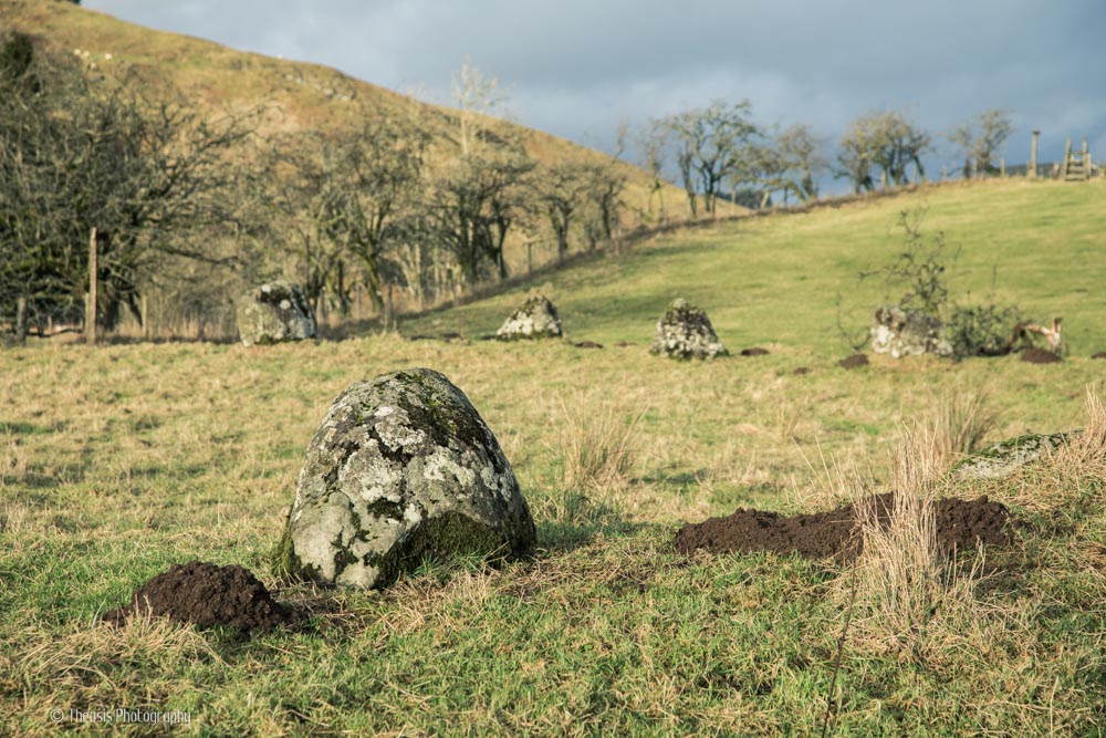
The Girdle Stanes are a few miles north of Lockerbie and just a few hundred yards from the three stone circles of the Loupin' Stanes. A line of fallen stones leads from one site to the other.
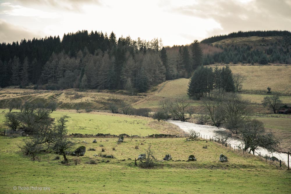
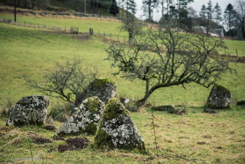
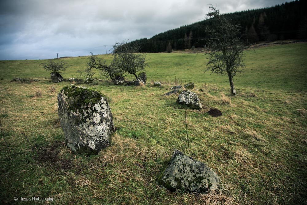
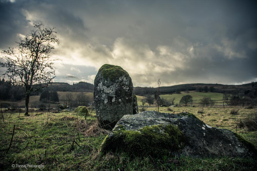
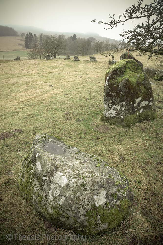
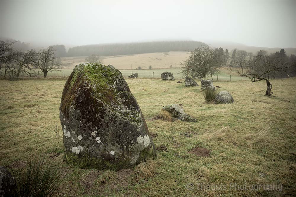
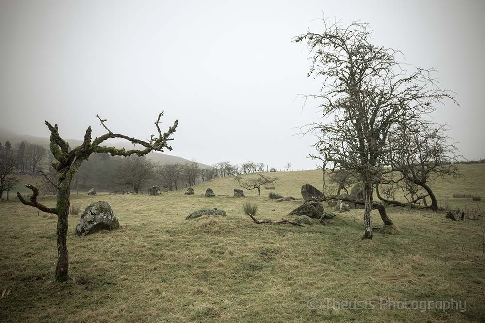
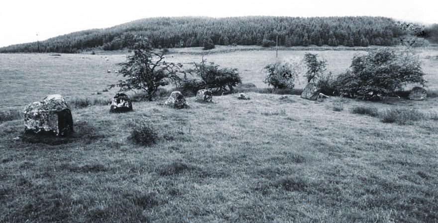
The River White Esk has obviously changed its course since the circle was constructed as almost half of the ring has vanished as the river bank has been washed away. Twenty-six stones stand now, and Burl suggests that there were originally between forty and forty-five stones. The stones stand in a bank and range in height from two feet to six feet. Several other stones stand just outside the circle.
1/34
2/34
3/34
4/34
5/34
6/34
7/34
8/34
9/34
10/34
11/34
12/34

13/34
14/34
15/34
16/34
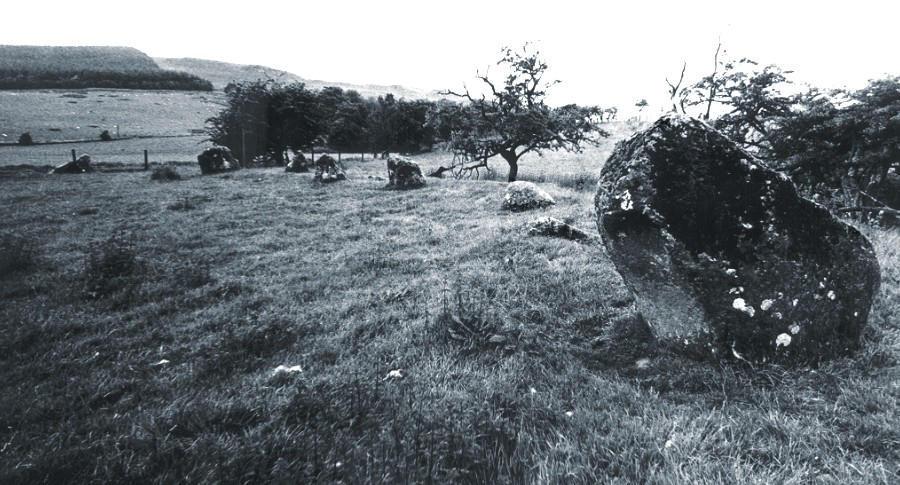
17/34
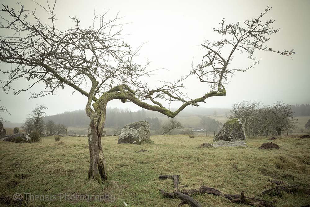
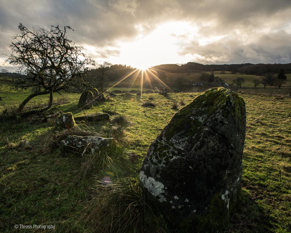
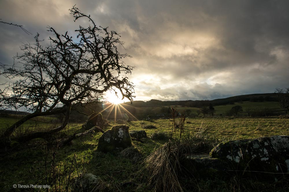
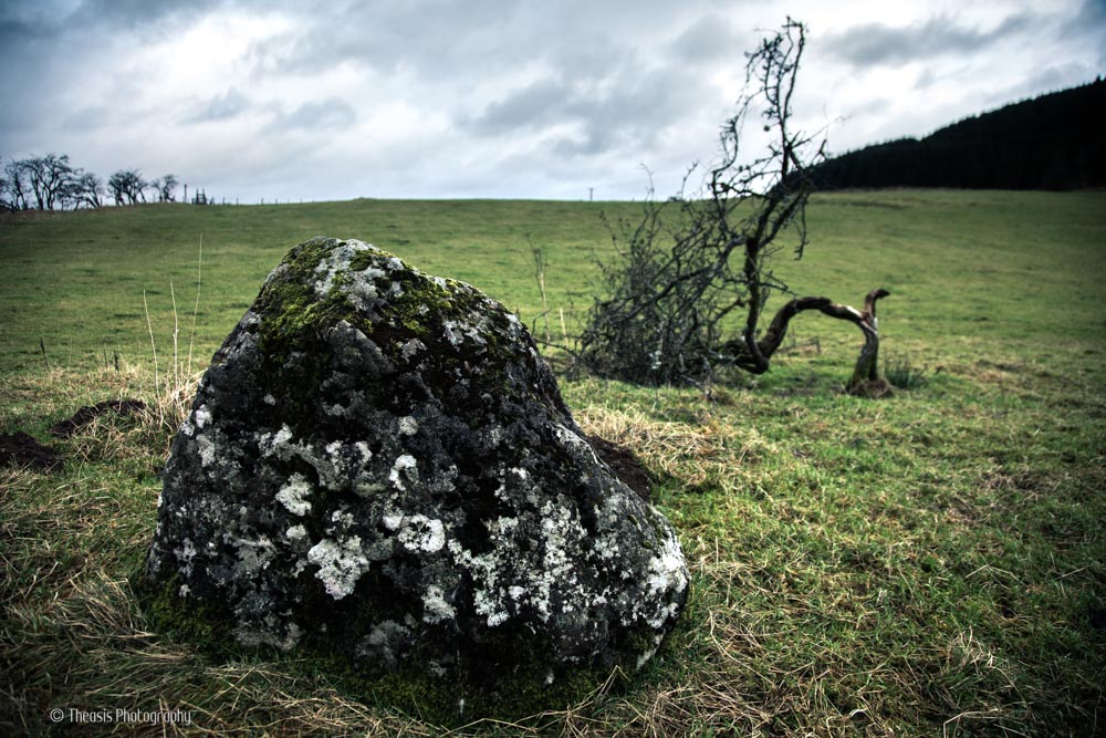
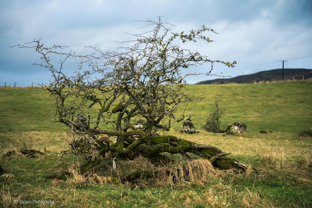
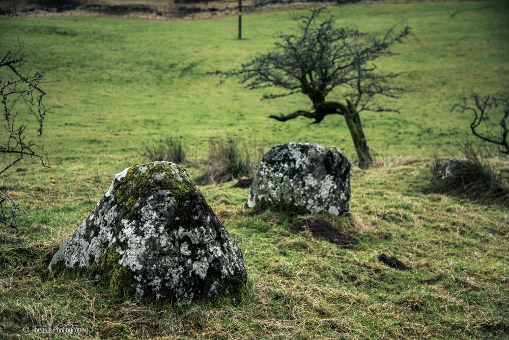
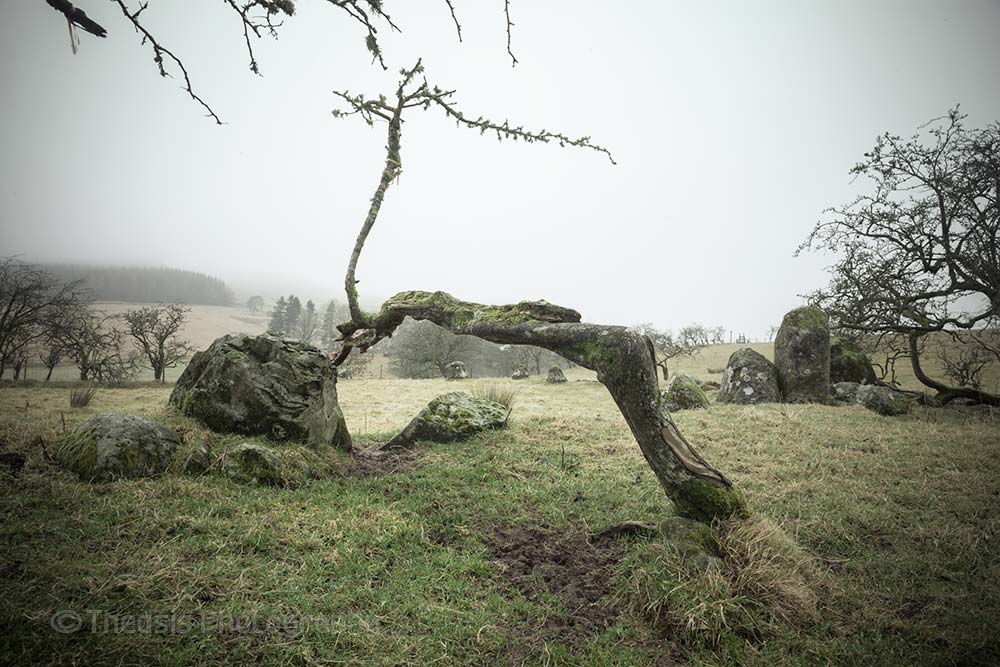
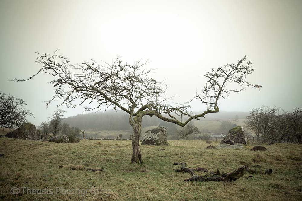
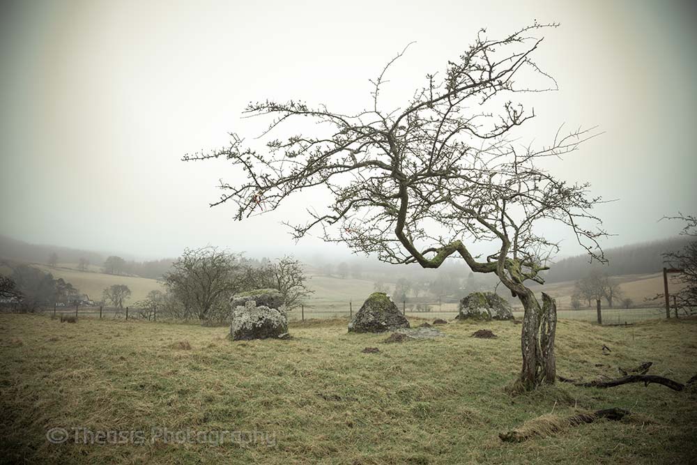
18/34 The atmosphere of the site is helped by some wonderfully twisty hawthorn trees.
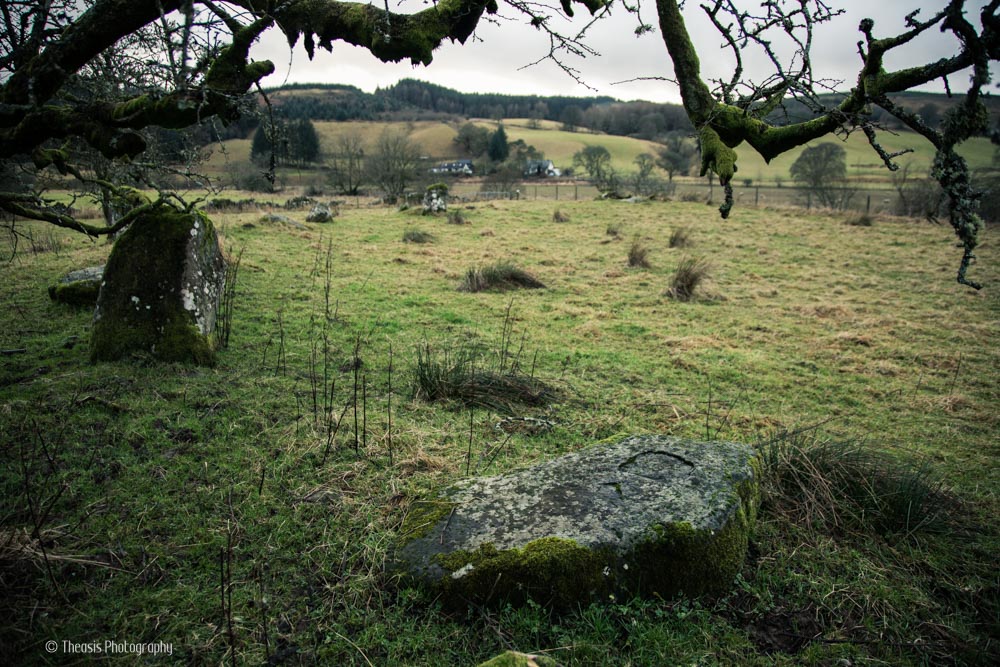
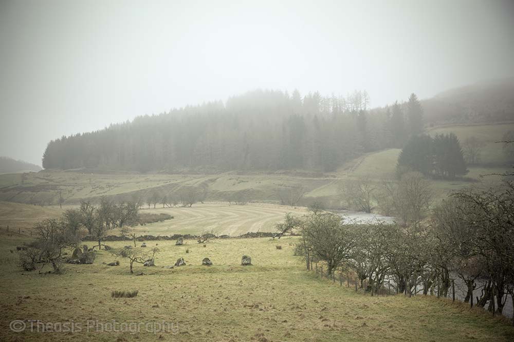
19/34 Looking down on the remaining circle from the nearby <a href="/site/106">Loupin Stanes</a>.
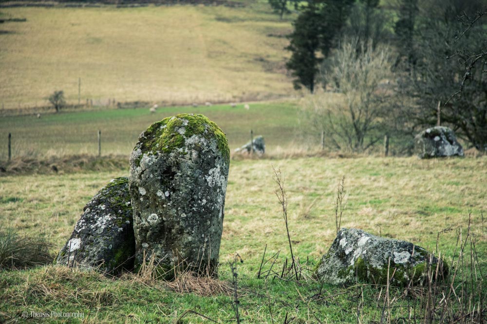
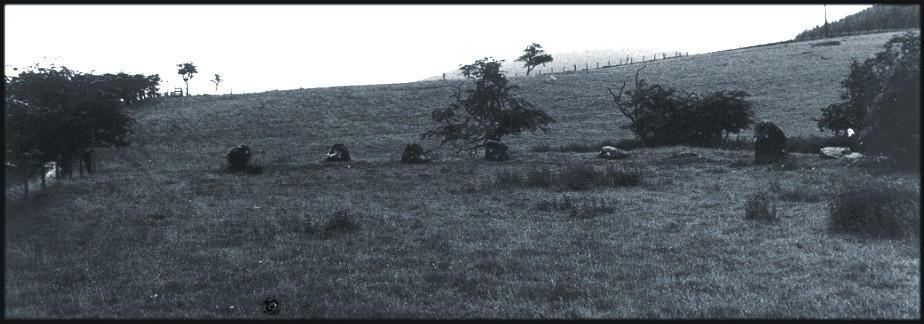
20/34 The northeast arc.
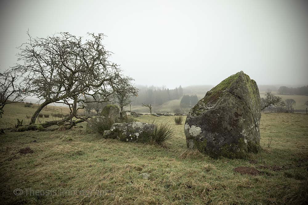
21/34 The southeast arc.
22/34
23/34
24/34
25/34
26/34
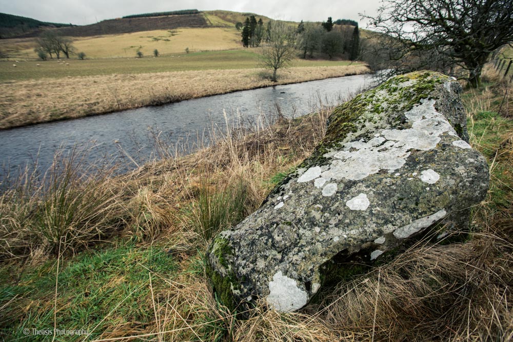
27/34
28/34 Looking east with the River White Esk immediately behind the camera. The <A Href="loupin.html">Loupin
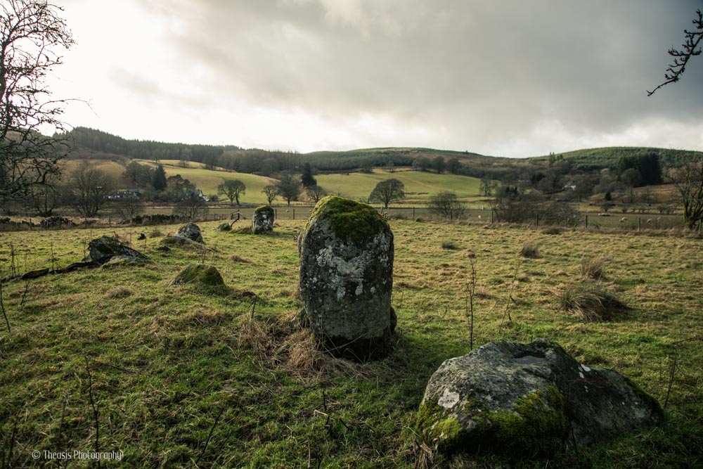
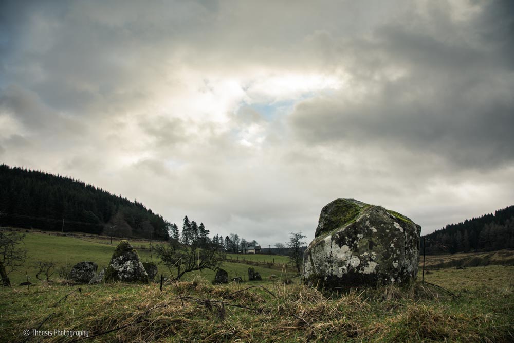
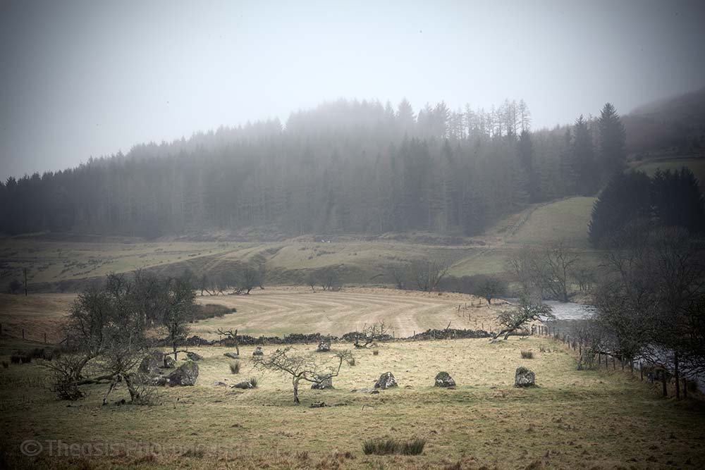
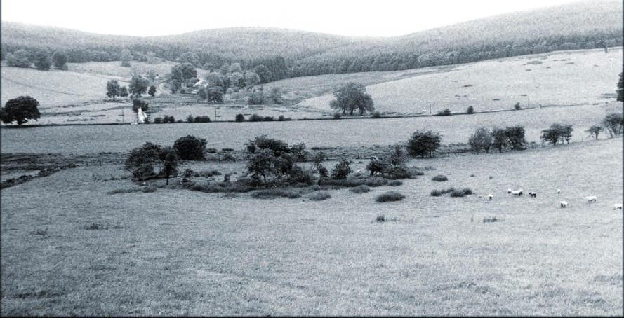
29/34 Looking south across the Girdle Stanes to the fortified lower slopes of Castle Hill. The bank on which the stones are set can be seen here. The distortions in the upper-right of the picture are due to rain on the lens - it was a miserable day.
30/34 This is the northern arc of the circle looking to the north west. The fence and trees running from the left-centre of the picture, just behind the stones, marks the edge of the River White Esk.
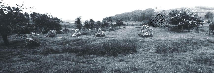
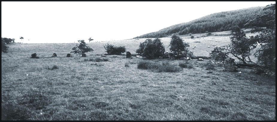
31/34 A wide view to the west. The river cuts across the middle of the picture with the remains of the circle marked by the arc of trees and dark vegetation just to this side of the river line.
32/34 Looking north - a little way out of sight over the rise are the <A Href="loupin.html">Loupin

33/34 Stones on the north-east part of the arc.
34/34 Another view to the north.
Nearby Sites
0km Loupin Stanes Stone Circle
(NB: All distances are as-the-crow-flies. Lochs, mountains and beautiful winding roads will make it further. Sometimes much further.)